National Geographic Education - National Geographic Society · https://education.nationalgeographic.org/resource/gerardus-mercator/
Greenland has spent four centuries impersonating a continent. The UN just voted to end the performance. Sinai had a rule about that.
You shall do no unrighteousness… in measures of length, of weight, or of quantity. You shall have just balances, just weights. I am Yahweh your God.
Leviticus 19:35-36
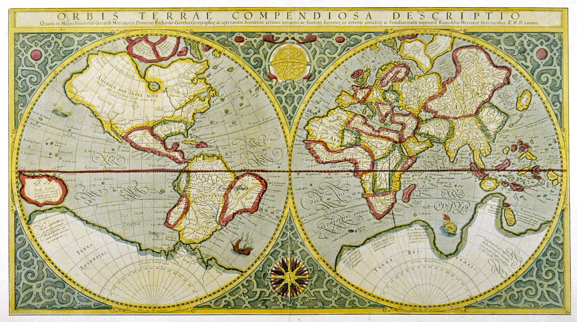
On September 4, the UN General Assembly voted 164 to 1 to retire the most famous picture of the world. The Mercator projection, drawn in 1569 so sailors could plot a straight compass line, inflates whatever sits near the poles. Greenland has enjoyed the arrangement for four and a half centuries, floating on classroom walls at roughly the size of Africa. Africa is about fourteen times larger.
You could pour the United States, China, India, Japan, Mexico and much of Europe into Africa and still have land left over. Mercator never lied to sailors, and the resolution leaves navigation alone. The trouble started when a wayfinding tool got promoted to the default portrait of Earth.
Togo's resolution, non-binding, endorses the Equal Earth projection, which keeps areas honest by letting shapes stretch. France's foreign minister called the correction "already an act of truth." The United States cast the lone no, asking why a body facing genuine problems of peace and prosperity is debating a sixteenth-century map. The objection is fair, and so is the concession: every flat map distorts something. The vote chose which truth to keep.
Israel's law code saw this coming. The line about measures of length sits a breath after the command to love the foreigner as yourself (verse 34), and it files a crooked measure under the same heading as a corrupt court. It was written for a people just out of Egypt, where they had been someone else's arithmetic.
A map is a scale hung on a wall.
Paul, speaking to the philosophers of Athens, offered a different cartography:
Acts 17:26He made from one blood every nation of men to dwell on all the surface of the earth, having determined appointed seasons, and the boundaries of their dwellings,
On that map, no nation gets to draw itself large. Greenland will survive the demotion. The scales we hold up to whole peoples are harder to take off the wall.